Ironically, the routes extending to the edges of the map in all directions, listed here as Commuter Rail, were operated multiple times daily by the major railroads 50+ years ago. I live near Conyers on the east side of Atlanta and the restored ninteenth century rail depot is still adorned with a sign showing mileage to Atlanta and Augusta. Once upon a time you could have boarded a train here and arrived at Atlanta's Union or Terminal stations in 45 minutes. From there you could have connected to trains bound for anywhere in the country. It all sounds whimsically futuristic, doesn't it?
Showing posts with label conyers. Show all posts
Showing posts with label conyers. Show all posts
Wednesday, August 1, 2012
What Transit In Atlanta Should Look Like
This map was produced by Citizens for Progressive Transit in 2006 and illustrates what transit in Atlanta should look like. Click HERE for the hi-res version.
Friday, May 18, 2012
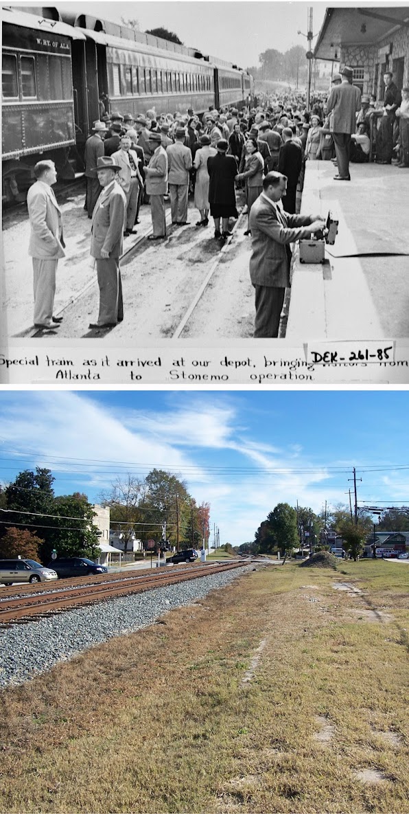
East of the ATL: Then and Now
I noticed my photo comparisons of the site of the old Lithonia, GA railroad depot have been making the rounds on several blogs and thought I'd point readers to the entire set of photographs. Entitled Now and Then: East of Atlanta, the set features recreations of vintage photos taken in Decatur, Stone Mountain, Lithonia and Conyers, GA. Some of the original shots are nearly a century old! If you enjoy this blog and are a fan of the Atlanta Time Machine, you'll probably dig these too.
Subscribe to:
Posts (Atom)


