Monday, February 27, 2012

19th Century Industrial, 21st Century Sports

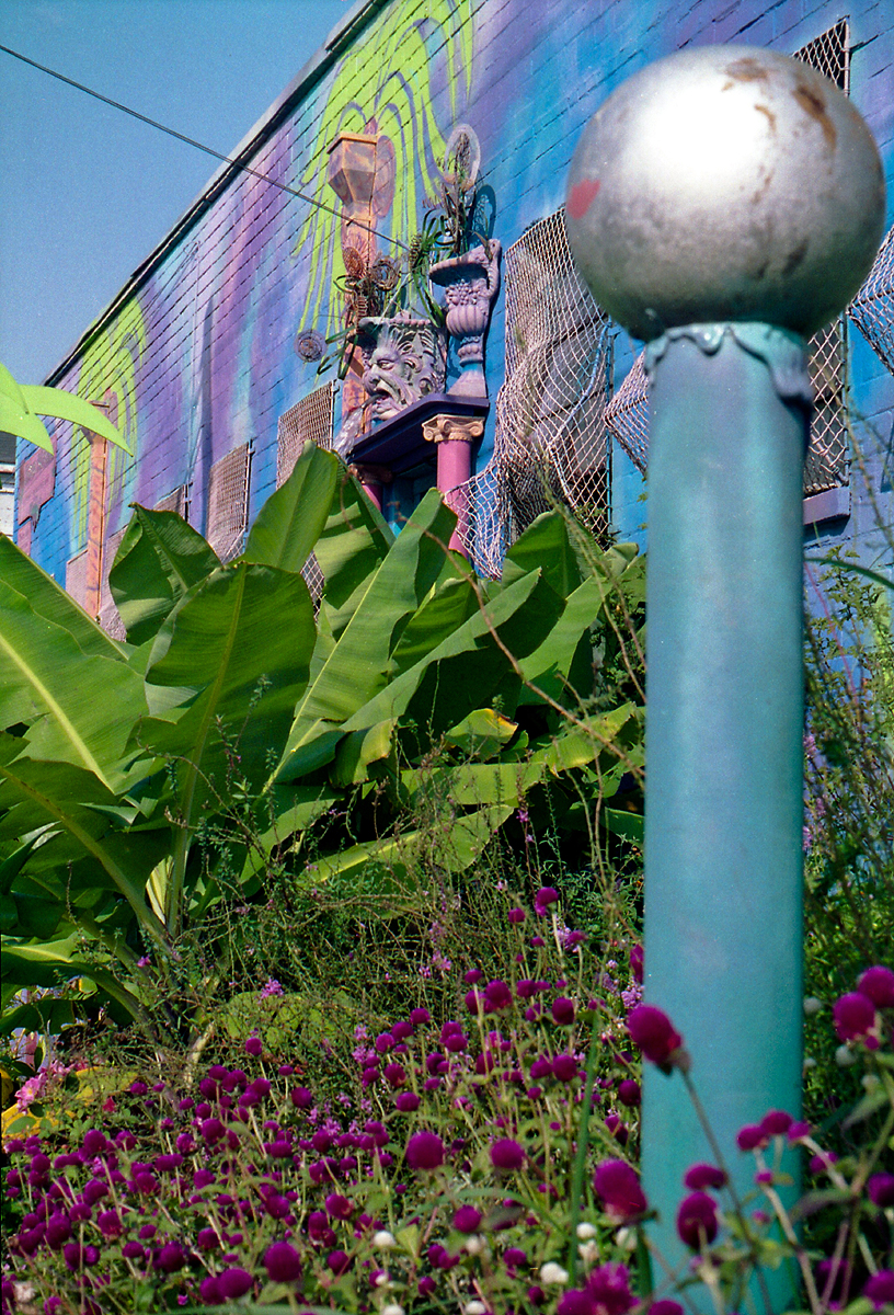
After taking photos around Cabbagetown on a beautiful January day in 1990, I spotted this interesting old warehouse at the intersection of Connally Street and MLK and snapped this photo through the windshield while at the stop sign. This was directly across MLK from what is now the City Limit Cafe and diagonally across the intersection from the now demolished Capitol Homes housing project.


Coincidentally, flickr photographer Amber Rhea took this photo from the same spot over 15 years later in October 2005. The warehouse had been demolished but the water tower, smokestack, and adjacent Atlanta Paper Company building were all still standing. It looked like this building might eventually be converted into lofts, but...


When I returned in February 2012 I was greeted by one of the most spectacularly dreadful street views I've seen yet, seemingly custom made for one of James Kunstler's many anti-Atlanta rants. Who comes up with this stuff?


What is over, beyond, and behind the wall? Well, if you just happen to be riding in a crane or helicopter you'll find this surreal scene. The former warehouse and industrial site is now the Georgia State University practice field. This photo and many others of the new sports complex can be found in this AJC gallery.


What was here in the 1800s? The smokestack and portion of the warehouse that bordered the railroad are shown on the 1892 birds eye view of Atlanta. Interestingly, Connally Street ended one block south of where it ends today.


Here's the 1919 view:


In this 1961 photo, courtesy of the Atlanta History Center, the area was dominated by the Capitol Homes public housing project. I-20 is under construction in the foreground. The old cylindrical water tower can be seen at the top right corner of the projects, below Grady Hospital.


The old warehouses that occupied the site of the Georgia State University practice field are at the very bottom of this 1963 view.


A cool birds eye view from Bing Maps, probably from around 2008-2009. At top left, Capitol Homes have been demolished and cleared.


And finally, circa 2010, the end is nigh!


Directions to this spot:


View Larger Map

Saturday, February 25, 2012

Atlanta Properties Having Landmark Status in 1988

I thought this was interesting. This list of Atlanta properties having Landmark Status was taken from the September 26, 1988 issue of the AJC. How many of these have been lost since then? Off the top of my head I know the YMCA and the William Raoul house were demolished in the 1990s but I'm not certain about some of the others. In any case, most of these are still with us and the city of Atlanta deserves credit for working to protect these landmarks at a time when new commercial development was booming in downtown and midtown.


Sunday, February 19, 2012

The Beltline at Edgewood pt 2

Here are a few more photos taken from the Edgewood Avenue bridge over what will eventually become the BeltLine trail. These are facing north towards Irwin Avenue. The view facing south can be seen in this earlier post.

This section of the Norfolk Southern "Decatur Belt" had been abandoned only a few months before this first photo was taken in November 1995. Kudzu had just begun to creep over the rails. In the photo at right, taken February 2012, the rails have been pulled up, the homeless camp cleared out, and the trees have doubled (or quadrupled) in size.


This field was the site of several warehouses of the abandoned South East Atlantic Cotton Compress complex. The warehouses were destroyed in a spectacular fire on July 3, 1991, reportedly started by fireworks. I could see the fire from Doraville! The remaining buildings are now part of the Studioplex lofts and much of the site is now a parking lot. The building at far left is not part of the complex and is still abandoned. Top photo: November 1995. Bottom: February 2012.


Despite the dramatic changes all around it, this view is nearly unchanged in 17 years. Left: November 1995. Right: February 2012.


Here's a 1972 aerial view of the massive triangular warehouse complex that burned down in 1991. The Edgewood Avenue bridge is at the bottom of the photo.


In the 1892 Birdseye View of Atlanta, this was the site of a railroad maintenance facility including a roundhouse, turntable, coaling tower and associated buildings. Inman Park is at far right and a trolley line is shown on Edgewood (at bottom).


Google map of this spot:


View Larger Map

Friday, February 10, 2012

Urban Nirvana

The amazing Urban Nirvana was the studio, gallery, and gardens of artist Christine Sibley. This technicolor oasis was located at the corner of DeKalb Avenue and Waddell Street during the 1990s. Sibley was known primarily for her pottery and also designed the decor for several Fellini's Pizza and La Fonda restaurants. These photos were taken in August 1992.


These first 8 photos were taken on the side of the building that faced DeKalb Avenue. Waddell Street is to the left.


The telephone pole in front of the building was decorated as a palm tree!


This fountain is below what must have originally been the front door of the building.


This is part of the garden behind the building. In the pens to the right were peacocks, goats and chickens.

Sunflowers were painted across the back side of the building.

Urban Nirvana was a magnet for artists and musicians and appeared on album covers and in several music videos. "Blue Garden Party" was a Super8 film that I shot there in 1992.


Atlanta band Ultrababyfat shot much of the video for their song "Twist" in the garden behind the building.


Urban Nirvana appears on the cover of Shawn's 1994 album Big Blue Sky.


All good things must come to an end. Miss Sibley was seriously injured in a near-fatal auto accident in 1998 and, after months of difficult recovery, sold the Urban Nirvana property in September 1999. Sadly, she passed away a few months later at age 51.

Urban Nirvana was my favorite place in Atlanta during the 1990s. Revisiting the site nearly two decades later was truly depressing. So what is there now? Altogether now: just what we need... MORE CONDOS! Here is the former site of the garden:
 
I try to keep an open mind when it comes to the recent rash of condominiums in Atlanta. After all, people have to live somewhere and this location is hard to beat. Maybe I'm too idealistic and critical when assessing current architectural trends, but in this case, even the owners seem to be sheepishly trying to hide this building from public view.

The telephone pole that had once been decorated as a palm tree is apparently all that remains.

The view on Waddell Street in January 2012:


View Larger Map

Wednesday, February 8, 2012

Excelsior Mill / Masquerade

Despite demolition threats and preservation disputes in recent years, the beloved circa 1901 Excelsior Mill / Masquerade still stands on North Avenue across the street from the old Sears building.
Top photo: January 1989  Bottom photo: January 2012


In January 1989 it was still known as the Excelsior Mill Restaurant & Bar. They served really good pizza and had a small movie theater there. In the late '80s it morphed into a night club with live music. ( The bands on the marquee are Mary My Hope, Rumble Circus, and the Shadow Puppets.) I took this photo after hearing rumors they might be closing. Sure enough, they were soon out of business and within months reopened as The Masquerade, a tri-level club showcasing punk, metal, and goth bands. In 2004, the property was sold to a developer who soon announced his intention to demolish the old mill and replace it with just what we need... MORE CONDOS! After months of neighborhood protests and a campaign by the Atlanta Preservation Center to raise awareness of the historic value of the site, a deal was reached and the building was saved. The vantage point of these two photos is now a sidewalk in the new Historic Fourth Ward Park. The menacing gothic atmosphere has certainly been neutered by the surrounding sod, bike racks, and cutesy bushes.

The Masquerade complex was originally the Du Pree (or Dupre) Manufacturing Company and produced excelsior, wood shavings that were essentially the late 19th century equivalent of modern foam packing peanuts. I've never found an accurate construction date. Various articles in the AJC have mentioned 1905, 1892 and 1890 while the Atlanta Preservation Center pins the date circa 1901. The site appears vacant on the 1892 Birdseye View of Atlanta illustration but the complex is shown on this 1911 Sanborn Insurance map.


It's probably obvious to anyone who has read more than one of my posts that I find these nearly century old "Birdseye View Of Atlanta" maps endlessly fascinating. In this 1919 view, the mill can be seen at right. Following the railroad to the left from the mill, you'll find the Ford factory, the bridge over Ponce, and the Atlanta Crackers baseball park.


View Larger Map

Monday, February 6, 2012

North Highland Avenue at the BeltLine

Another excursion into the gentrified Twilight Zone that is now Atlanta! Of the many places I have revisited in the last month, few have changed as radically as the stretch of North Highland Avenue between Inman Park and the Old Fourth Ward. What had been an industrial ghost town during the early 2000s has been transformed into a bustling mini-city seemingly overnight. Upon my return, I felt like Charlton Heston in Planet Of The Apes, but instead of being surrounded by talking apes on horseback I found myself surrounded by hordes of well dressed 30 year-olds and very expensive cars. The smell of coffee and creole food wafted from the direction of what had previously looked like a post-apocalyptic metal yard. Joggers in fluorescent neoprene suits jogged over the bridge that had served as shelter for a homeless encampment. We're not in Kansas anymore, Toto.

Here's a fantastic aerial photo from around 2001, "borrowed" from the website of Surber, Barber, Choate & Hertlein Architects, the firm that redeveloped much of this stretch of North Highland. The massive building at center was the Mead Paper manufacturing plant. To the right of that, across the street, was the General Pipe and Foundry complex that occupied the site for nearly a century.


Instant city: looking east towards Inman Park. The last time I drove through here, probably in 2001, this was an industrial wasteland of giant metal sheds, abandoned scrap yards and sprawling manufacturing plants. I now find myself in a strange new world. I wholeheartedly support the concepts of new urbanism but can't help feeling these buildings look like college dormitories.


This was the entrance to the abandoned Grinnell piping and design company, located at 200 N. Highland, as seen in November 1995. One thing I love about many old industrial and commercial buildings is the amount of detail and ornamentation that went into the design. The idea of spending extra time and money on such details simply because they are aesthetically pleasing seems almost unthinkable today.


Thankfully, the front facade was saved when the property was redeveloped as loft apartments and it looks completely surreal standing below sliding glass doors and balconies.


Here is the view looking north from the N. Highland bridge over the Norfolk Southern railroad, which was still in use when I took the first photo in November 1995. In the second photo, taken in February 2012, the old steel complex has been replaced by the cleverly named Steel Lofts. The construction of the BeltLine is well underway.


On the other side of the bridge, this is the view facing south towards the Old Fourth Ward water tower. The photo at left was taken November 26, 1995 and shows the Mead paper manufacturing plant. The photo at right was taken February 2, 2012.


Here's the same 1995 photo superimposed over a wider angle of the current view. I always love this effect of the past superimposed on the present.


Another shot from the same spot on the N. Highland Avenue bridge in 1995 facing south towards Cabbagetown and the Fulton Bag and Cotton mill.

Today the view is blocked by these apartments.

The stunning transformation of this area is possibly best summed up by comparing these two business descriptions from former and current occupants of the N. Highland steel site:

Then: GRINNELL Products delivers a complete suite of grooved piping solutions for a full range of mechanical, HVAC, commercial, mining, institutional, and industrial applications. Available products offer contractors, engineers, and distributors faster, more cost-effective tools for joining pipe over traditional welding methods.

Now: BROWBAR is the ultimate luxurious destination in Atlanta for brow grooming, full body waxing, organic facials, lashes, tinting & makeup & toxic free manicures by Zoya Nails! Whether it's creating the perfect brow shape for your face, removing all of your unwanted hair or rejuvenating your face, our professional aestheticians can help you achieve all of your goals.


View Larger Map

As always, thanks for joining me on these timed-warped "Sunday drives". Much more to come...

Friday, February 3, 2012

Krog Street Stove Works Bridge

The Atlanta Stove Works bridge over Krog Street, another well known "bridge to nowhere". Top photo is from November 1997 and the second one was taken February 2, 2012. The bridge is still there but the building it was connected to is now a parking lot. Anyone out there know why it was demolished?


These buildings date back to the late 1800's. Atlanta Stove Works produced pot belly stoves and cast iron pans

This bit of history comes from Krog Bar, one of the dozen or so businesses now located in this complex: Krog Street was originally Wallace Street and was renamed in 1892 for Frederick Krog, who was important in early Atlanta railroads and had lived nearby. Coincidentally, he died in 1892 .

About the word "KROG" from Sweden: Krog is a little "better" than a pub or bar - krog is an old word for a restaurant that serves food as well as drinks, and would even sometimes have a band and a small dance floor.

This 1911 Sanborn insurance map shows the Stove Works only on the west side of Krog St. The missing building in the above photo housed the office, warehouse & shipping department, and the polishing & erecting area. The railroad tracks at left will become part of the Atlanta beltline.


The layout of the complex when I photographed it in the 1990s was pretty much the same as in this 1949 aerial view. (You can find it by looking for the bridge over the road.) The Old Fourth Ward water tower is at top left in this view and Edgewood runs across the bottom of the photo. If you haven't seen Georgia State's online aerial photo atlas of Atlanta from 1949, do yourself a favor and check it out HERE.

Google directions to this location:


View Larger Map